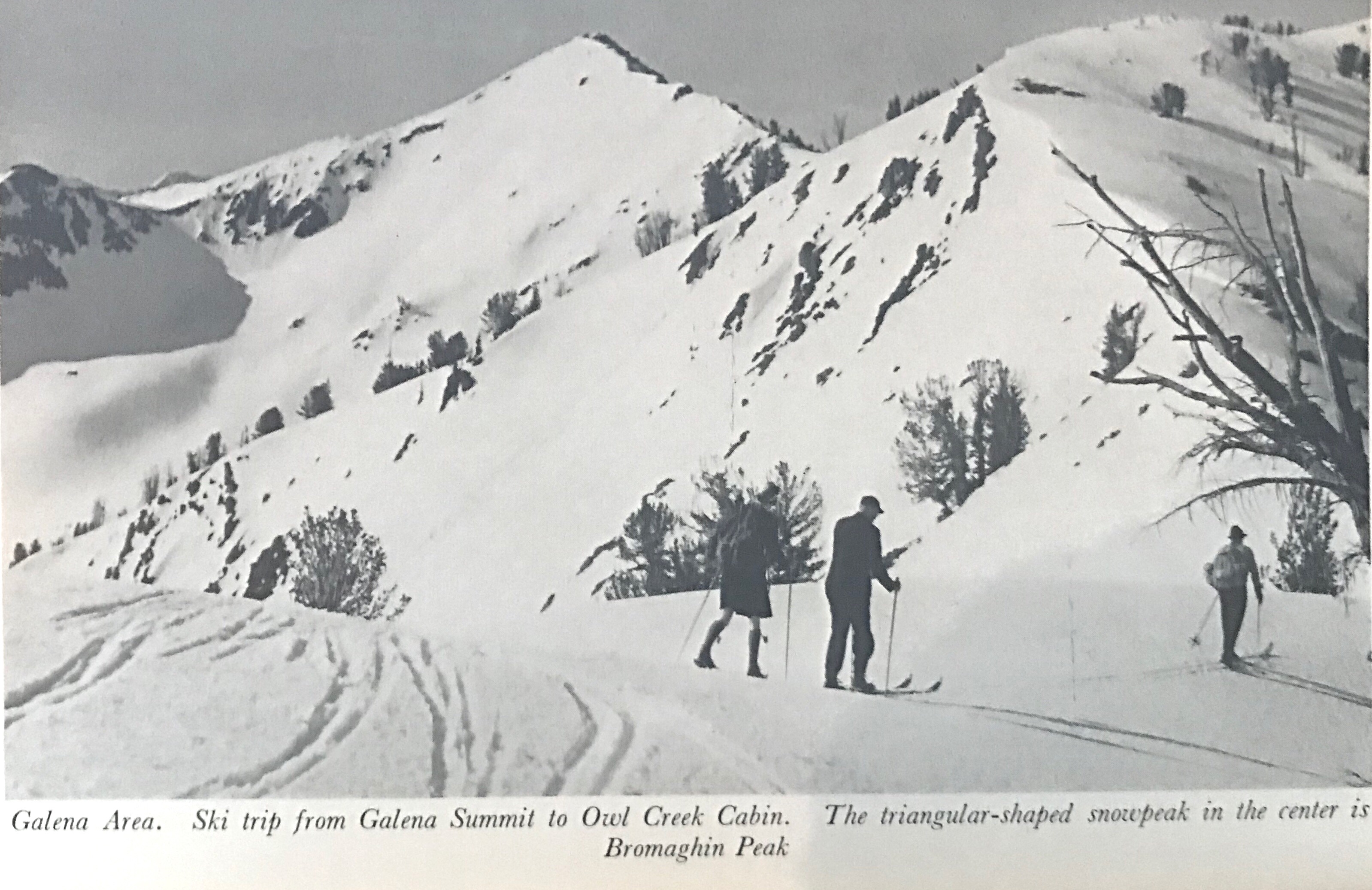
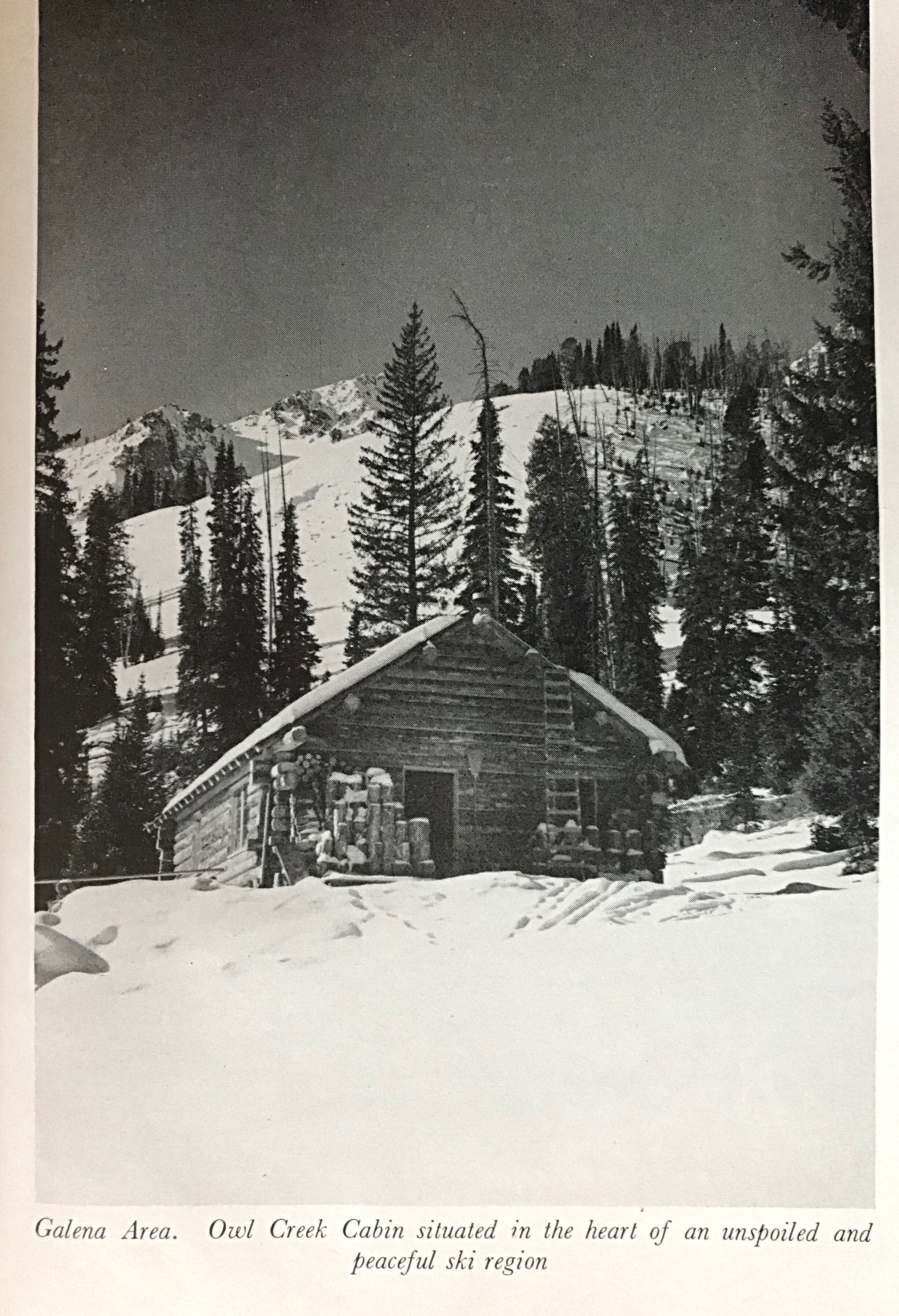
The first Idaho backcountry skiing and Winter climbing guidebook, “Sun Valley Ski Guide,” was published in 1948. The book was authored by Andy Henning and published by the Union Pacific Railroad, the owner of the Sun Valley Resort. The book is long out of print and is hard, if not impossible, to find. However, there is a copy at the Ketchum library.
The first section of the book describes the developed ski areas including Proctor Mountain, Ruud Mountain, Dollar Mountain and Baldy as they existed in 1948. The second section, entitled SpringandSummerSkiing, includes routes in the Smoky Mountains, the Boulder Mountains and the Pioneer Mountains. The book demonstrates that the mostly European ski guides hired by Sun Valley likely made the first Winter ascents of many of the peaks in these ranges.
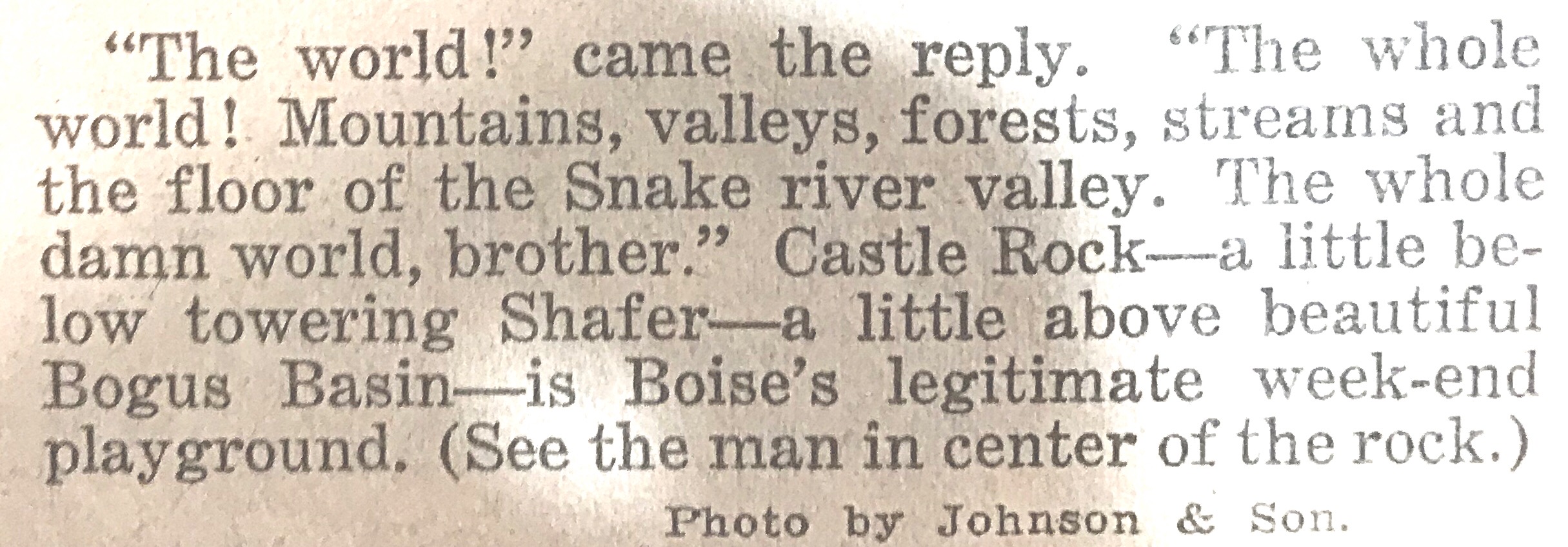
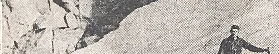
The following excerpts from the book are courtesy of Basil Service. (Click on the photos to enlarge)
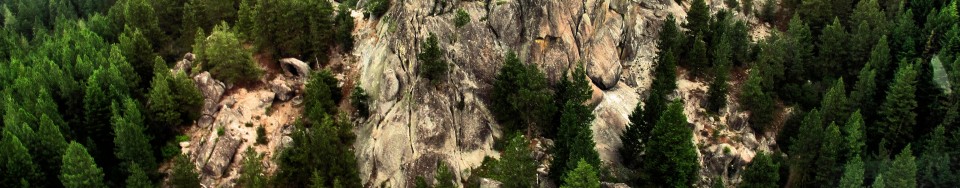
This article from the Idaho Statesman was published on August 1, 1926. In 2018, we know that there are no active glaciers in Idaho. Pettit Lake is the only landmark mentioned in the article, so it is safe to assume that the glacier was located west of the lake. Based on the distance and size measurements set forth in the article as well as the name Snowyside Peak, I think that the North Slopes of Snowyside Peak is a possible location. I added a photo of the North Side of the peak at the bottom of the page. See also The End of the Last Idaho Ice Age by Bob Boyles.
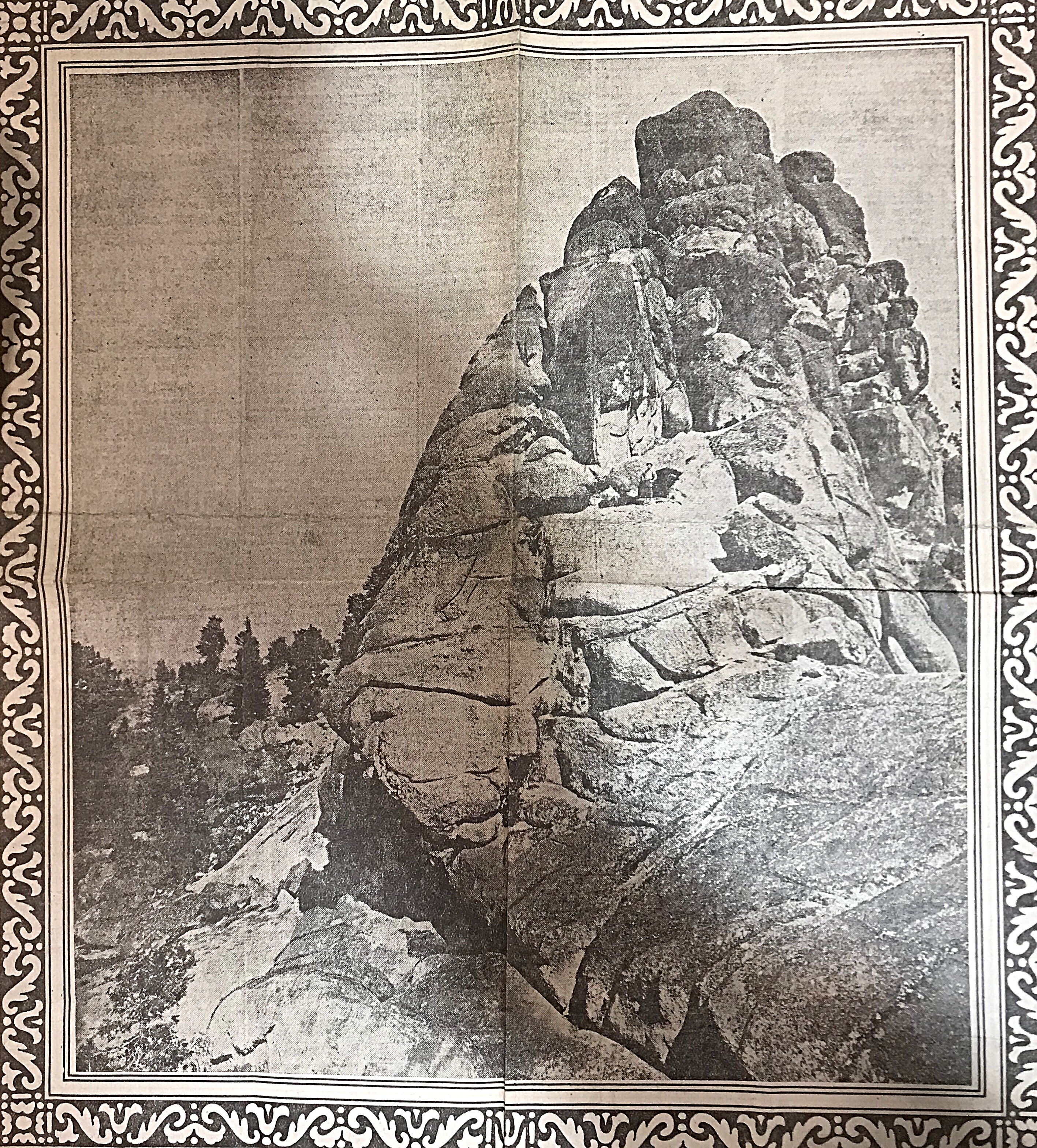
Along with its balmy climate, industrial opportunities, scenery and potatoes, Idaho can also boast of those phenomenal masses of ice, the awe inspiring beauty of which each year entices thousands of tourists to Switzerland. One of the few glaciers in the State of Idaho can be found far into the upper reaches of Idaho’s Alps (the Sawtooths) 20 miles up from Pettit Lake at an elevation of approximately 10,000 feet. Extremely difficult to access and far from the paths of men, this mass of ice is today practically unknown (even to native sons) and has not been named.
The glacier lies in an upland valley. It is oblong in shape and is estimated to be a mile in length and half-mile wide. Due to the probable irregularities of the valley floor, there is no accurate way of determining its supposedly great depth. The surface is rugged, very irregular and slanting.
The claim of this body or ice to the name “glacier” cannot be doubted. It is neither an overgrown snowbank nor the frozen surface of a mountain lake and possesses all glacial properties to the least details. Its interior formation is essentially that or the glacier, being made up of layers of solid lice, which is really frozen snow and seepage water under terrific pressure. At its crest is found the firn, a mass of granular snow which forms the upper part of glaciers. In its surface are crevices, so large and forbidding that as yet no man has dared venture near enough to determine their depth. And, as more substantial proof, it is slowly but inexorably moving, descending between the confining precipices of granite, pushing a moraine (a mass of accumulated debris) ahead of it and leaving a scarred trail on the bedrock in its wake.
The ascent from Pettit Lake to the glacier is so rugged and difficult that only a few more hardy nature-lovers have made the trip. The trail (only a dim outline) is so steep and dangerous that it is necessary to travel practically the entire distance on foot. But, dangerous and exhausting as the trail is, those who follow it to the journey’s end will find themselves amply repaid. To the brave belong the spoils.
Was the glacier located below Snowyside Peak’s North Face?
In the 1960s, the American Smelting and Refining Company was preparing to develop an open pit molybdenum mine on the North Side of Castle Peak. The remnants of the company’s extensive mining camp are still standing below the peak. There is a good summary of the dispute on the Boulder White Clouds Council’s website: The Battle for Castle Peak. This battle is briefly mentioned on Page 22 of the book.
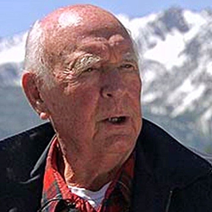
Cecil Andrus
The battle to save the White Clouds was heated and decisive. Cecil Andrus opposed the mine and, in part, won the race for Governor as a result of his stance. Once the mine was stopped, the next battle (creation of the Sawtooth National Recreation Area) took place in Washington, D.C. Idaho Senator Frank Church led the battle in Congress.
This history is extensively covered in many places. I will add a few historical tidbits as I come across them.
This photo was part of an Idaho State Journal article published on July 7, 1969.
Lyman Marden was a member of the USGS team that surveyed the Borah Peak quadrangle. He wrote an article entitled Climbing the Slopes of Mount Borah—the Dean of Idaho Peaksabout the survey. This article appeared in the Idaho Statesman in 1935. In 1950, he wrote the following report for the Boise Public Library.
—An account given to the Boise Public Library on April 15, 1950 by Colonel Lyman Marden, a member of the party that surveyed the Borah Peak quadrangle and placed the benchmark on the top (September 13, 1934).
Located halfway between Mackay and Challis, Idaho. Elevation 12,665 feet above sea level. Highest in the State. Approached via Highway 93 to Challis and Highway 93 toward Mackay or via Highway 20 to Arco, thence to Mackay and toward Challis.
The Challis approach is enriched by the Salmon River country through which Highway 93 runs.
The Arco-Mackay approach is one of great contrast. The Lost River Range, which culminates in Borah Peak, begins as low hills near Arco on the edge of the Snake River Plain. From there, the Range rises to a long series of peaks over 11,300 feet and several over 12,000 feet. See United States Geological Survey, Topographic Map, Borah Peak Quadrangle 1934-35.
A road crosses the mountains just a few miles from Borah Peak through Doublespring Pass and gives access to beautiful country at the headwaters of the Pahsimeroi River, one fork of which rises from the North and East Faces of Borah Peak. These headwaters are scenic with long, grassy slopes called Horse Heaven and at a higher elevation Goat Heaven, and a backdrop of perpendicular mountain faces carved out by glacier action. Small caves may be found at surprising places in the high ridge between the forks of the Pahsimeroi. Good but limited camp spots are available. Obtain Forest Service advice at Challis or Mackay and local ranchers’ advice on springs, streams, wooded areas, etc.
Rivers and creeks in the near vicinity of Borah Peak are of the Lost River type and are apt to lose themselves in the gravel of the valleys for many miles only to reappear. Big Lost River and Little Lost River lose themselves in the Snake River Plain.
The Pahsimeroi River reappears just before emptying into the Salmon River. Fishermen say it is a peculiar shock to run out of water while fishing downstream. There are many interesting phenomena in the general area. Almost certainly some of the peaks have never been climbed. There are castle rocks and pinnacles, hanging lakes, big springs, and distorted and twisted strata. Just north of Borah Peak on the edge of the Pahsimeroi Valley and east of Doublespring is an old volcanic crater containing a crater lake, part of the volcanic action represented by the Craters of the Moon National Monument many miles to the south. It is believed that a large meteor left a wide pockmark in the Pahsimeroi Valley near the upper edge of a distinctive alluvial fan close to the North Face of the Pahsimeroi Mountains. Those who desire to climb Idaho’s highest peak are advised to seek a road to the base of the mountain that leaves the Challis-Mackay Highway 93 quite close to the Dickey Ranch and Post Office. The view of Borah Peak from Dickey will reveal a long, curved ridge ascending to the top. The base of the ridge nearest Dickey is divided by a shallow draw slightly darkened by scrub timber. Ascend the shallow draw and continue along the converged, sharpened ridge to the top.
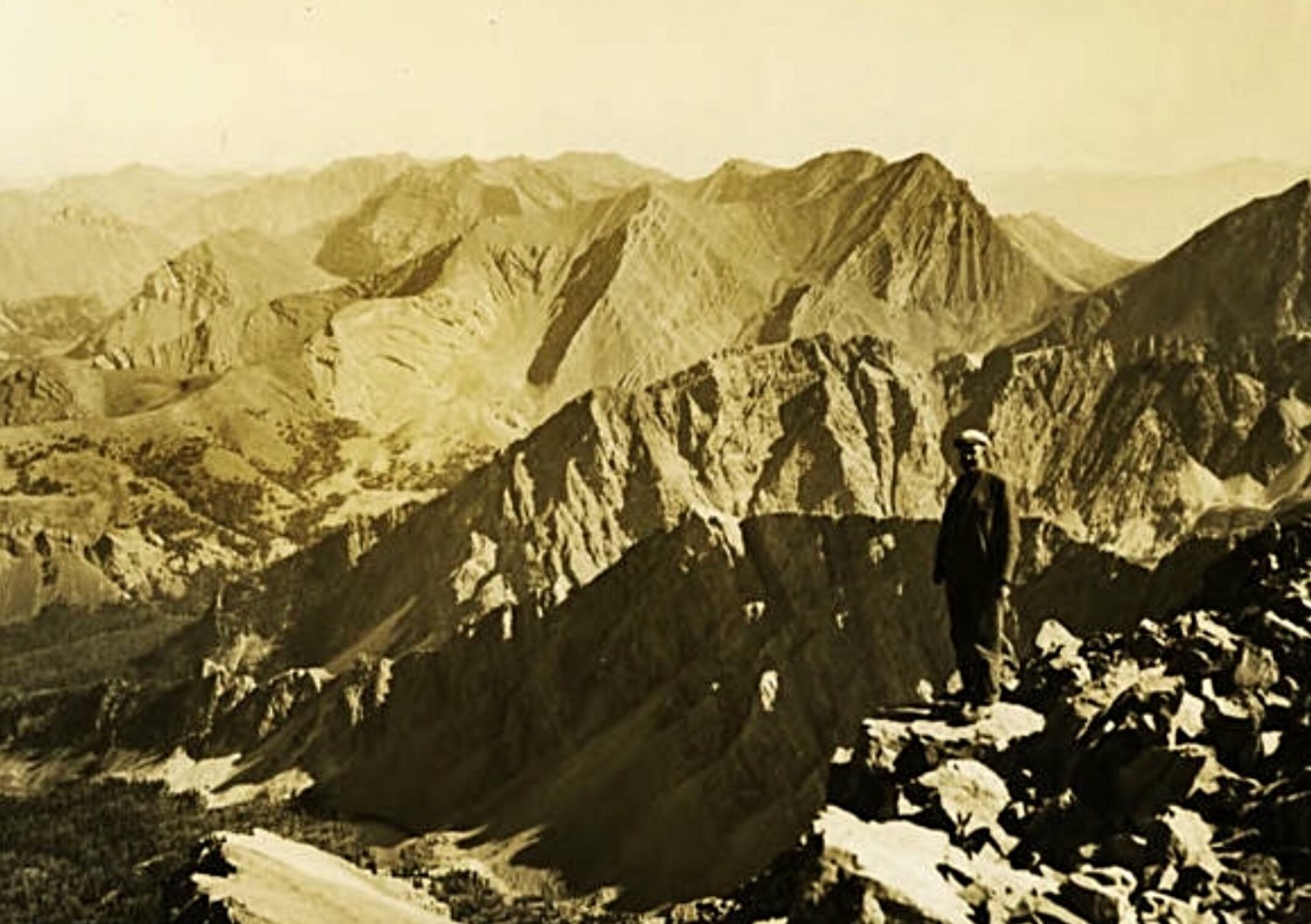
The Lost River Range as viewed from the summit of Mount Borah by Lyman Marden (USGS 1934).