This peak is not in the book. Published May 2020
This peak is located northwest of New Meadows at the far south end of the Seven Devil Mountains. Mud Creek is on its east side and the Weiser River is on its west side. USGS Railroad Saddle
Access
Drive west from New Meadows on US-95 for 5.3 miles. Turn right onto the Price Valley Road. Follow the Price Valley Road to its junction with FS-101 in 5.2 miles. Follow FS-101 for a mile.
West Slopes, Class 2
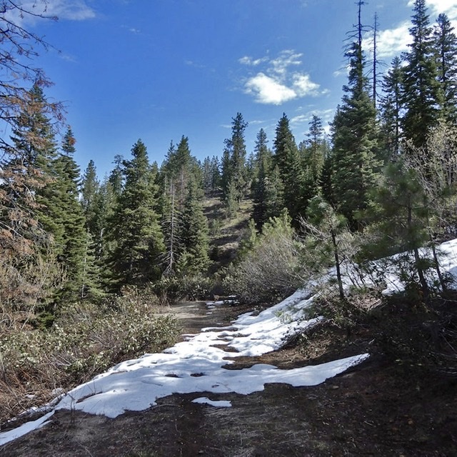
This route follows FS-1475 east until the road turns south at roughly 4,600 feet. The route then climbs northeast to the summit.
