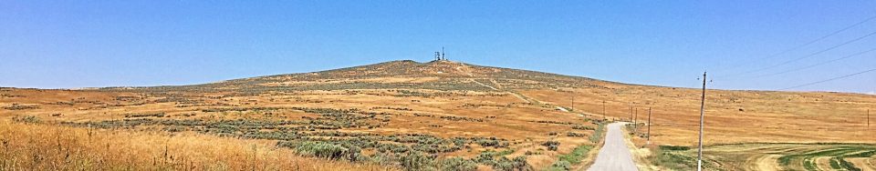
Kimama Butte is a former BLM fire lookout site. As best I can tell, it was manned during the Summer from 1937 to 1975. The lookout was demolished in the early 2000s. A road leads to the summit of this butte, which is located roughly 15 miles northwest of Rupert, Idaho. USGS Kimama Butte
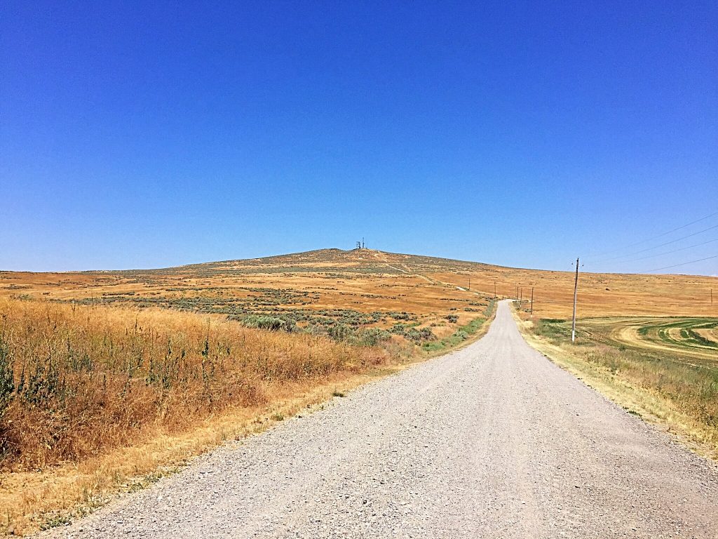
Google Maps will give you good directions from I-84. Basically, exit I-84 at Exit 201 for Kasota Road/Paul. Turn onto ID-25. Drive 2.9 miles and turn left onto S 1150W. Follow this road for 10.0 miles. Turn left onto 900N. In 0.7 miles, keep right toward Kimama Lookout Road and follow it to the summit. Class 1.