This peak is not in the book.
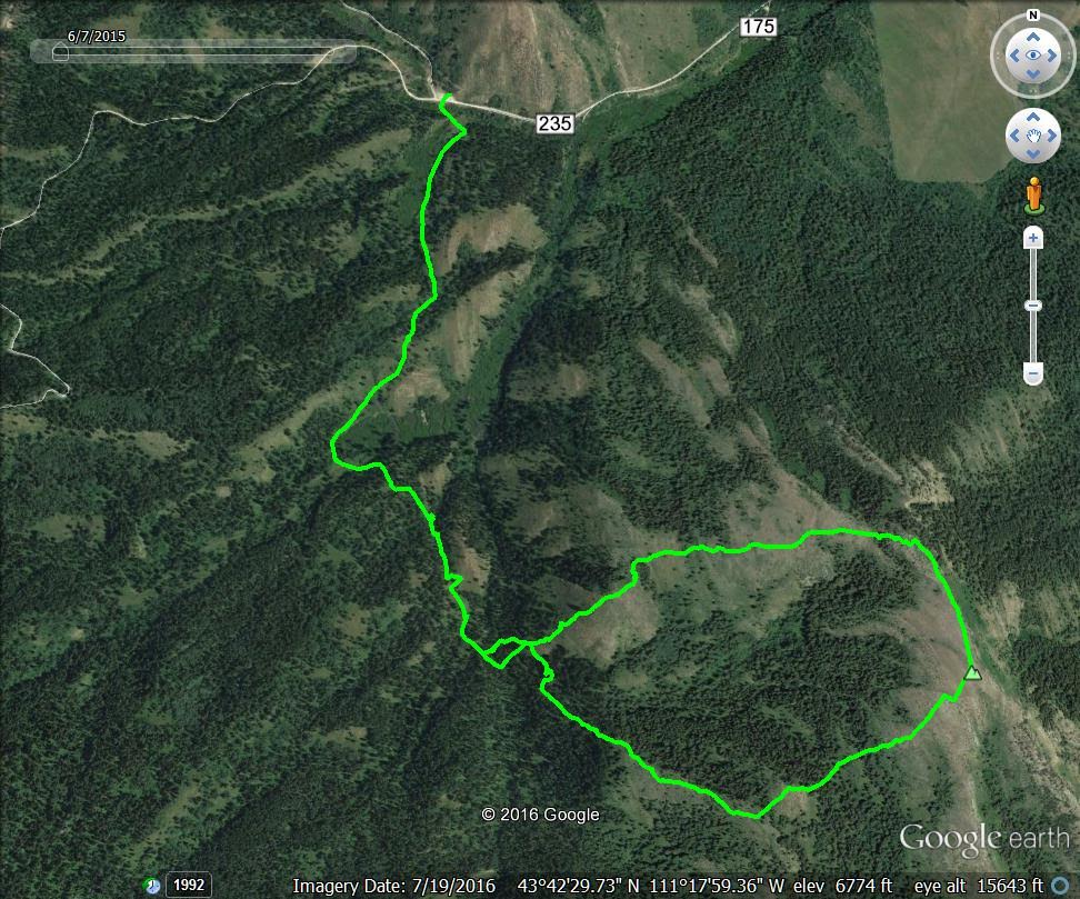
Mount Manning is located west of Driggs, Idaho in the Big Hole Mountains. The peak is easily accessed from Horseshoe Canyon, where a large parking lot is located just north of the peak. This parking area is a popular staging area for hikers, mountain and dirt bikers, OHV riders, hunters, and Winter sports enthusiasts. There are many trails and recreational opportunities that can be accessed from this point. USGS Garns Mountain
West Ridge Approach and Climb, Class 2
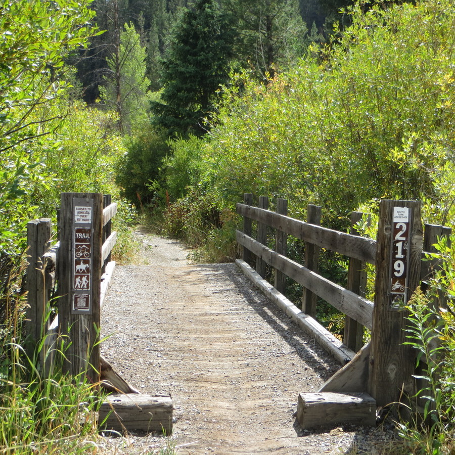
From the north, take FST-219/South Horseshoe Creek Trail and hike southward. Continue until the trail turns southwest sharply at about 6,600 feet. Here you can begin to see the mountain’s West Ridge. FST-219 parallels the South Fork of Horseshoe Creek and eventually crosses the creek. Continue to hike FST-219 until you see an area to cross the creek and bushwhack a forgiving forested area at the mountain’s base to access the West Ridge. This lower ridge section is the steepest part of the ascent.
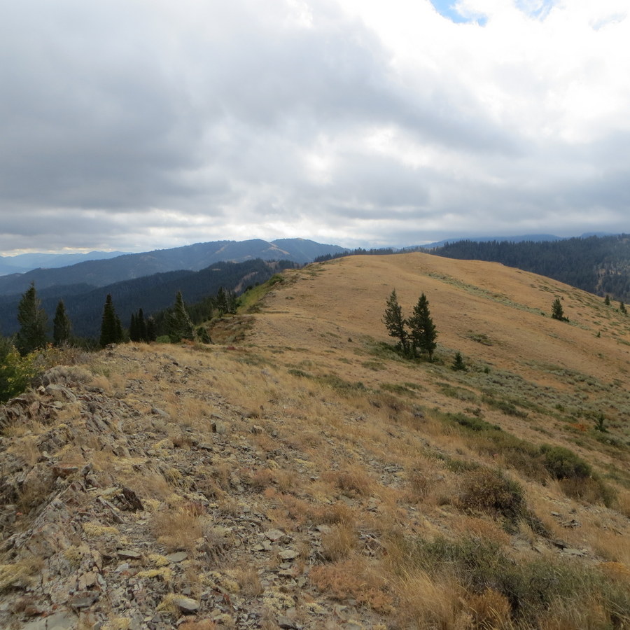
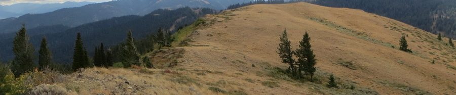
Climb until you reach the summit ridge and continue following it to the south, arriving at the peak’s summit and a small cairn. Enjoy views of the Big Hole Mountains to the south and west, and the Teton Mountains to the east. To return, backtrack your ascent route or continue to follow the ridge to the southwest. Descend to the lower part of the mountain and then traverse north, bushwhacking through less-forested areas, until you reach and cross the creek, which is close to FST-219. Once back on the trail, head north to the trailhead parking lot.
Other Routes
Other routes to the summit are possible using ridges accessed via FST-219, FST-234/Twin Creek Trail, and FST-195/Nickelson Grove Trail, which together circumnavigate the peak.