Elevation: 7,362 ft
Prominence: 302
This peak is not in the book. Published June 2020
Skyline Peak sits on the main Albion Range crest midway between Mount Harrison and Mount Independence. The peak has two summits of nearly equal height. The Skyline Trail crosses its summit. USGS Mount Harrison
Skyline Peak as viewed from the south
Access
This peak is accessed via FS-548, the Elba to Oakley Road [(A)(2) on Page 351]. From either Elba or Oakley, Idaho follow this road to Basin Elba Pass. Park on the pass. Google Maps will provide good directions to the pass.
Skyline Trail, Class 1
The Skyline Trail starts on the pass and runs north to Twin Lakes. The trail is an old road until it reaches Skyline Peak. This an up-and-down route that covers 5.0 miles and 479 feet of elevation gain round trip. The trail is open to motorcycles.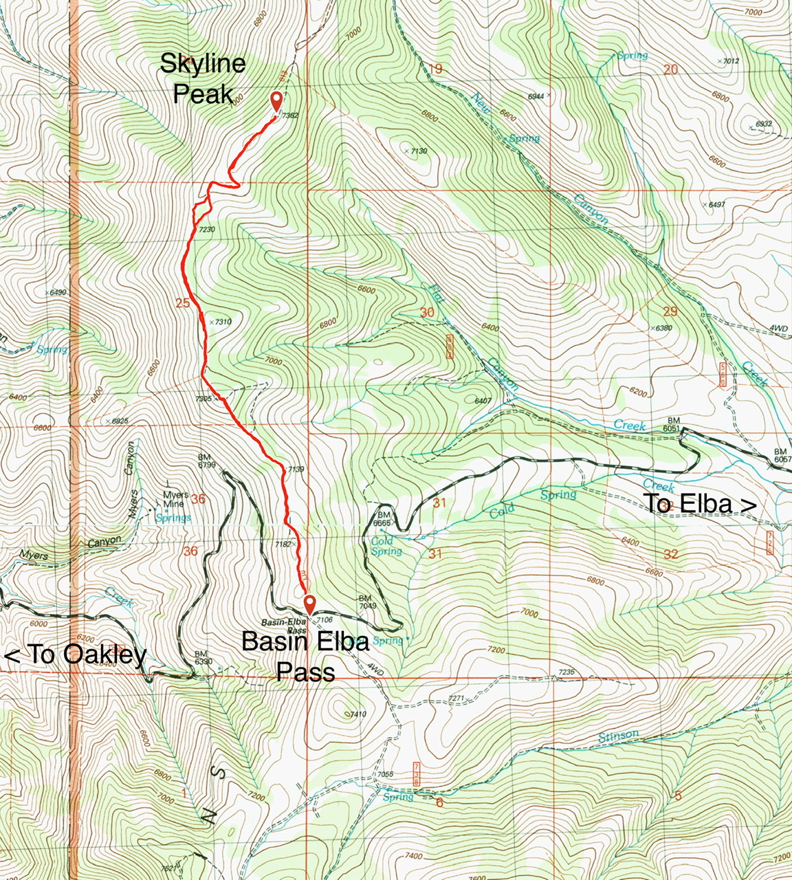

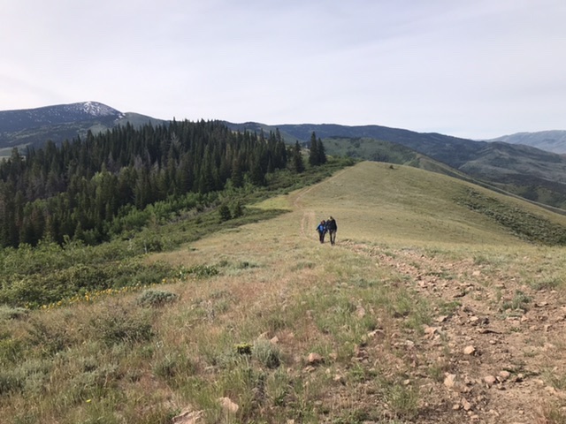
The Skyline trailhead
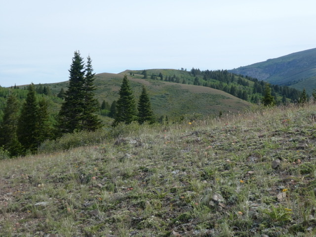
The route to the summit is mostly open
Additional Resources
Regions: Albion Range->SOUTHERN IDAHO
Mountain Range: Albion Range
Year Climbed: 2020
Longitude: -113.70939 Latitude: 42.27449