This peak is not in the book. Published September 2018
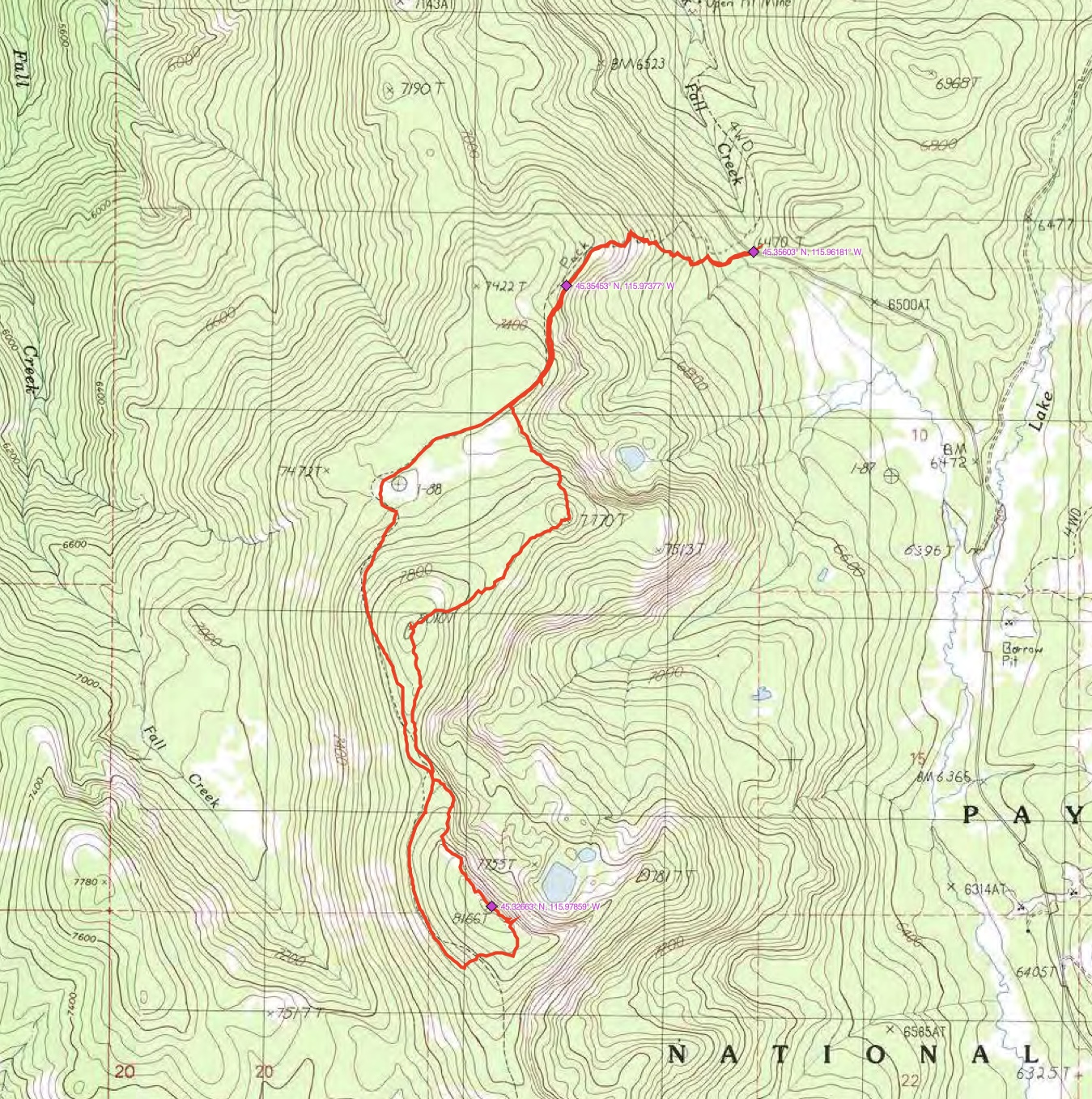
Toller Peak is located north of Bear Pete Mountain and northwest of Burgdorf Hot Springs. The Bear Pete Mountain Trail/FST-142 crosses the peak’s West Slopes less than 200 vertical feet below the summit. USGS Burgdorf

Access
The peak is best accessed from the Burgdorf/French Creek Road/FS-246 [(B)(2.3) on Pages 135-136]. There are two trail options from this road to FST-142. The first option is to hike up FST-144, which leads from FS-246 to FST-142 south of the summit. The second option is a trail that leaves the Burgdorf/French Creek Road at a saddle near the junction of FS-246 and FS-1335. This trail does not show up on the latest USGS topo but does exist and is maintained.
North or South Ridges, Class 2
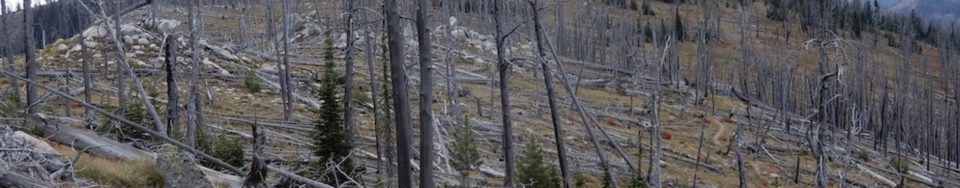
Access the peak from FST-142 and climb up up either its North or South Ridges. John Platt’s trip report is linked below. He combined trail and cross-country travel to make a loop hike to the summit. His trip covered 7.2 miles and over 2,200 feet of elevation gain.