This peak is not in the book. Published February 2020
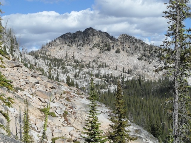
The Beast is located southeast of Lick Creek Summit. The peak rises steeply above Cly Lakes Basin. USGS Box Lake
Access
The route to this peak begins at Lick Creek Summit. Access the Lick Creek Summit via Yellow Pine/Lick Creek Road/FH-48 [(B)(3) on Page 136], which is 20 miles from McCall. Google Maps will give you accurate directions. The map below shows the cross-country route into scenic Cly Lakes Basin. This up-and-down route covers 7.2 miles with 3,110 feet of elevation gain round trip.
Southeast Face Gully, Class 3
From the southernmost Cly Lake, climb to the saddle south of the peak. From the saddle, traverse across the boulder field on the lower Southeast Face to the prominent gully cutting down the face. Climb the gully. Use the link below to read John Platt’s trip report.

