This peak is not in the book. Published November 2014
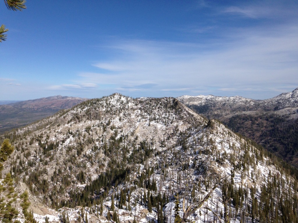
Pearl Benchmark is the northern terminus of a long Lick Creek Range ridge that parallels the North Fork Payette River on its west side and runs south to Beaverdam Peak. USGS Box Lake
Access
The easiest access is from the west. Follow Warren Wagon Road [(B)(2) on Page 135] to a signed turnoff for the Crestline trailhead. This rough road leads 7.0 miles to a trailhead west of Peak 8347/Black Pearl Peak at 7,200 feet.
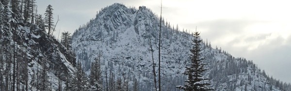
South Face, Class 3
From the trailhead, an unmarked trail leads north in a roundabout manner just west of the base of Black Pearl Peak. Continue by skirting around the base of Black Pearl and drop into the drainage below Pearl Benchmark’s South Face. Climb the face using granite ribs and bear-grass-covered slopes. Art Troutner found remnants of a fire lookout just below the summit. See John Platt’s trip report linked below for additional photos.