This peak is not in the book. Updated November 2019
The East Hills High Point is located southeast of Declo, Idaho. Its summit offers an excellent view of the middle section of the Snake River Plain. An ATV track now leads up to nearly the summit. Zack Vickery’s trip report linked below is the most current report. USGS Albion
Rick Baugher’s trip report follows:
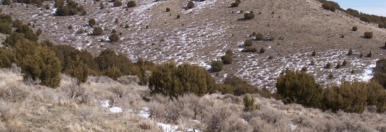
On 3/5/13, I drove 3 miles south of Declo, then east on 300 South to the end of the graded county road. From 4,600 feet, hike east up a BLM two-track road. The track got steep and I took care to skirt the slick muddy patches.


In place, a US Coast & Geodetic Survey benchmark tablet stamped ‘Declo’ and dated 1950. On the side of this mountain overlooking Declo High School is a large painted letter ‘D’. Rick Baugher Photo