* Peaks listed in Elevation order; highest to lowest
| Photo | Peak Name | Mountain Range | Elevation | Prominence | Year | Description |
|---|---|---|---|---|---|---|
| Blue Ridge (Blackfoot Benchmark) | Blackfoot Mountains | 7,550 ft | 920 | This peak is not in the book. Published April 2018
The highest point in Bingham County d ... read more | ||

| Taylor Mountain | Blackfoot Mountains | 7,404 ft | 704 | Climbing and access information for this peak is on Page 363 of the book. read more | |
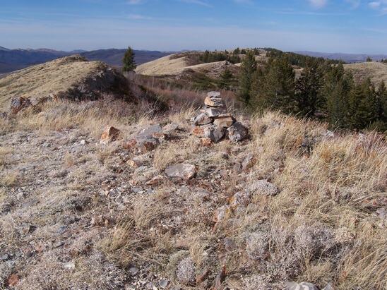
| Windy Ridge (Chesterfield Range HP) | Blackfoot Mountains | 7,307 ft | 1137 | This peak is not in the book. Windy Ridge is the high point of the Chesterfield Range. Rick Baughe ... read more | |
| Peak 7024 (Soda Springs Hills HP) | Blackfoot Mountains | 7,024 ft | 799 | This peak is not in the book.
Peak 7024 is the highest point in the read more | ||
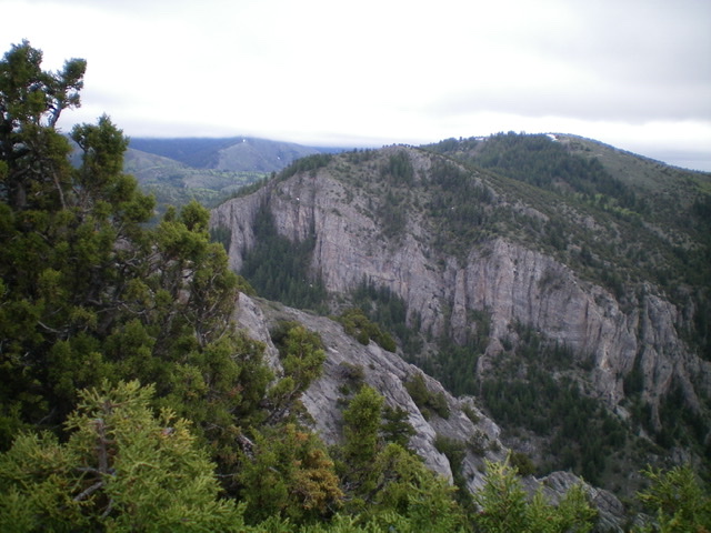
| Peak 6796 by Livingston Douglas | Blackfoot Mountains | 6,796 ft | 496 | This peak is not in the book. Published November 2020
Peak 6796 is one of two peaks that ... read more | |

| Peak 6420 by Livingston Douglas | Blackfoot Mountains | 6,420 ft | 360 | This peak is not in the book. Published October 2020
Peak 6420 sits above The Narrows: a ... read more | |

| BLACKFOOT MOUNTAINS | Blackfoot Mountains | 0 ft | The Blackfoot Mountains and two subranges, the Chesterfield Range and the Ninety Percent Range, form a group o ... read more | ||
|
| Chesterfield Range | Blackfoot Mountains | 0 ft | The Chesterfield Range, an extension of the Blackfoot Mountains, is located between the Blackfoot River basin ... read more | ||

| Ninety Percent Range | Blackfoot Mountains | 0 ft | The Ninety Percent Range is the southernmost extension of the Blackfoot Mountains. It extends southeast from t ... read more | ||
| Soda Springs Hills by Matt Durrant | Blackfoot Mountains | 0 ft | The Soda Springs Hills are a small range located immediately northwest of Soda Springs. It includes both the L ... read more |